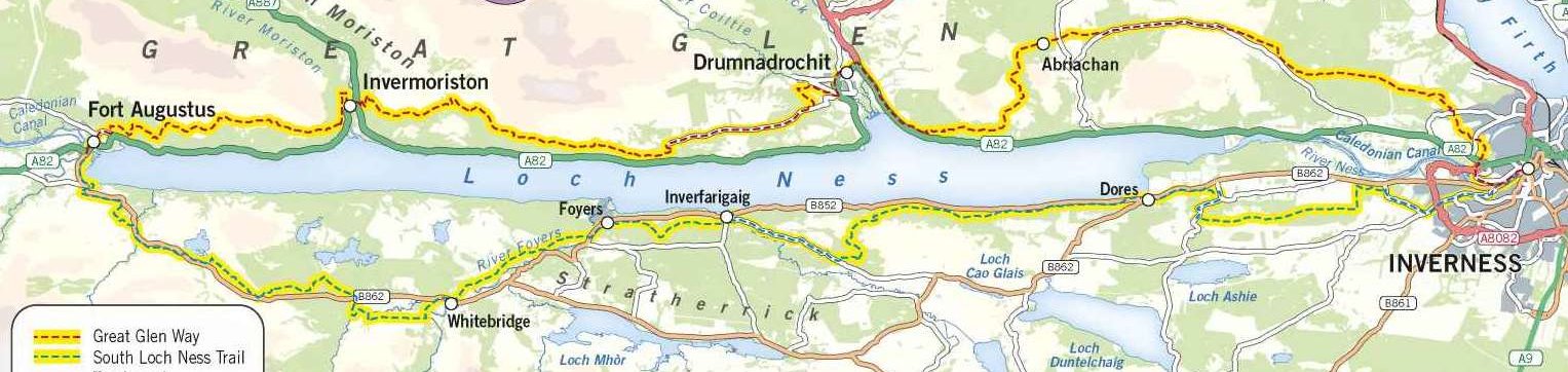
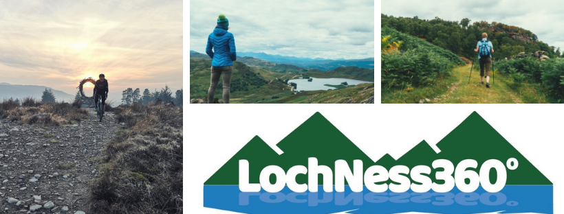
Joining of Two Great Trails
Developed by Visit Inverness Loch Ness, the Loch Ness 360° Trail connects the Great Glen Way with the South Loch Ness Trail creating a new long-distance walking, cycling and horseriding route around Loch Ness stretching for 80 miles.
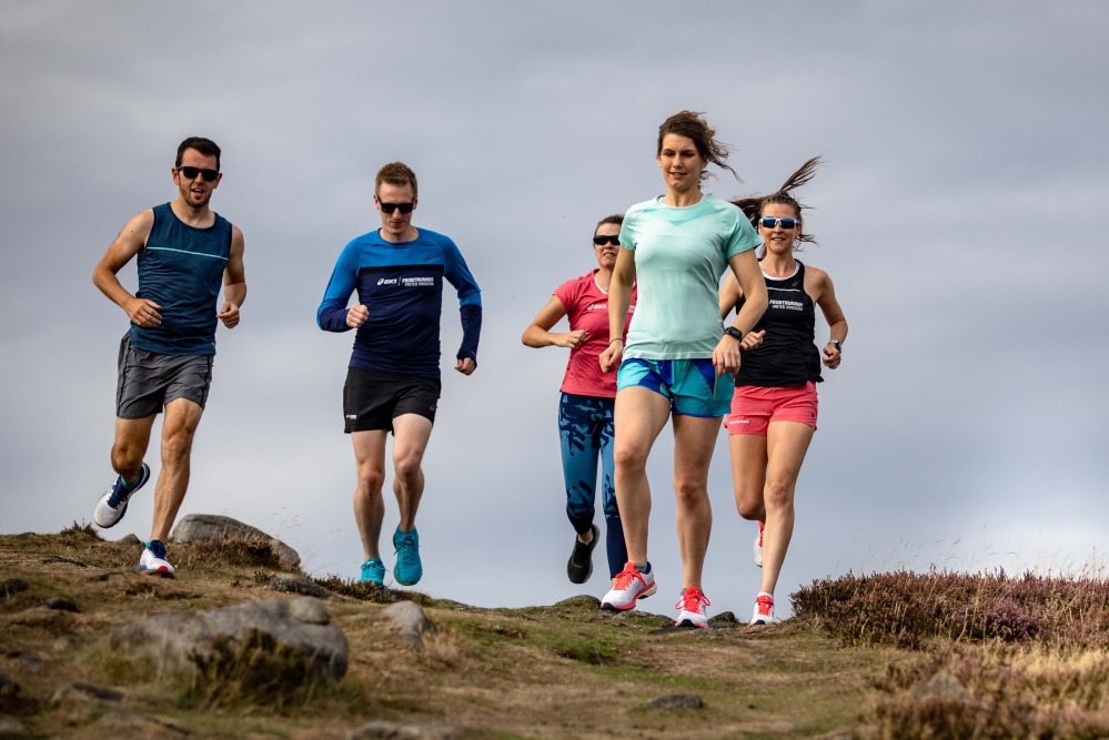
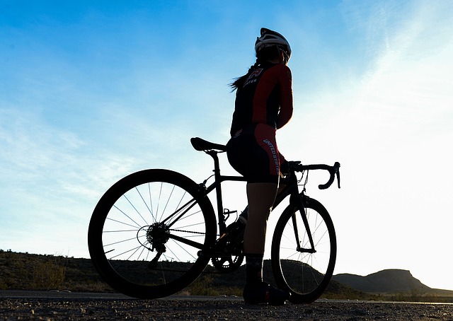
Walking this Scottish trail should take around six days to complete the entire loop. Cyclists can expect to take two to three days for this Loch Ness cycle path. You’ll find runners and horse riders enjoying the trail too.
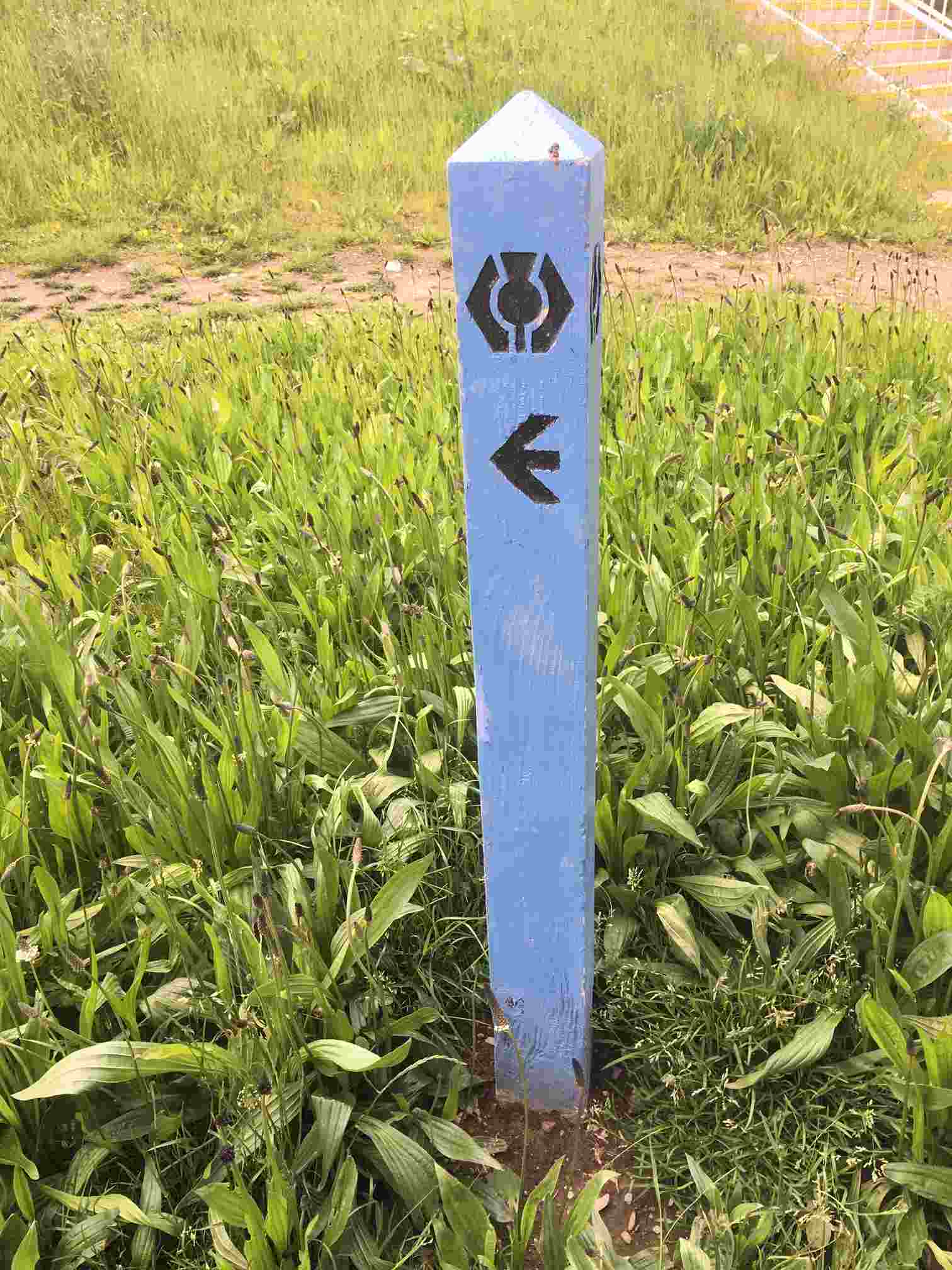
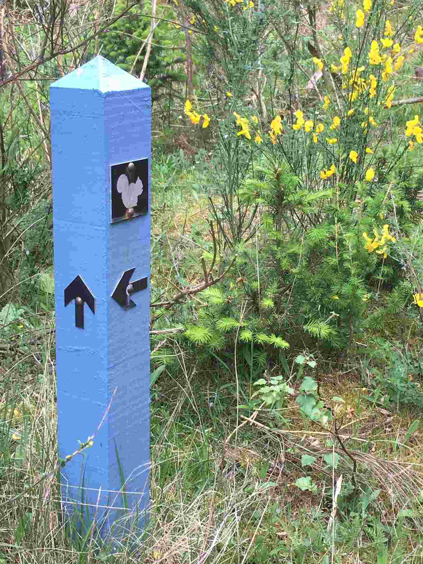
On the North Side of Loch Ness, the trail follows the Great Glen Way’s blue waymarkers with the thistle symbol. On the South Side of Loch Ness, follow the South Loch Ness Trail waymarkers. These are also blue with a squirrel symbol.


Level of ability needed to walk the trail
You will need a good level of fitness and some experience of hill walking to complete all sections of the Loch Ness 360° Trail. Some parts of the route are steep, and the width and quality of the path varies along the way. Also, some areas are remote from roads and services, with an unreliable mobile phone signal. So, map reading skills are important too. See Mountaineering Scotland’s guide to safety and skills, to ensure you are fully prepared for the walk ahead.
Please see our accessibility information below for more detail on the terrain type in each section. There is also an “elevation profile” at the bottom of this page.
The Six Sections Of The Trail
Trail Accessibility Information
Along the trail, there is limited access for those with mobility needs. There are a number of sections which are suitable. The best of which is the section from Fort Augustus to Loch Tarff (in section 4). Here, the trail is mostly 2 m wide. There are some steep sections and several gates. So a wheelchair user may need some assistance. Here is a breakdown of each section and any accessibility issues we have noted.
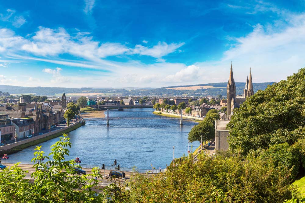
Section One: Inverness to Drumnadrochit.
Good quality path, forestry track and minor roads throughout. Some uphill sections and steep descent into Drumnadrochit. This section is long at 18 miles, so walkers will need a good level of fitness and the ability to walk for a whole day.
Section Two: Drumnadrochit to Invermoriston (high route)
Good quality path, steep uphill and downhill sections throughout.
Section Three: Invermoriston to Fort Augustus (high route):
Shorter section on good quality path with steep uphill and downhill at the start and finish.
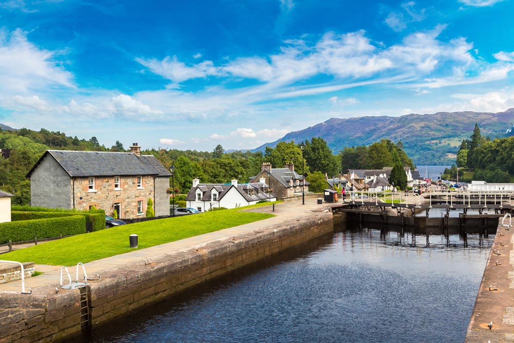
Section Four: Fort Augustus to Foyers
Newly constructed, good quality path between Fort Augustus and Loch Tarff, suitable for all abilities. After Loch Tarff the path becomes more rugged and then follows a mix of walking track, forestry track and minor road. Between Whitebridge and Foyers the route is flat, but can be boggy in places and watch out for two small stream crossings.
Section Five: Foyers to Dores
A mix of rugged track, forestry track and minor roads with some steep uphill and downhill sections. Parts of this section are boggy and uneven underfoot.
Section Six: Dores to Inverness
Mainly lower level on a mix of walking track, forestry track and minor road. The path across Drumashie Moor can be boggy.
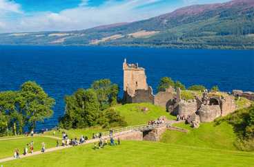
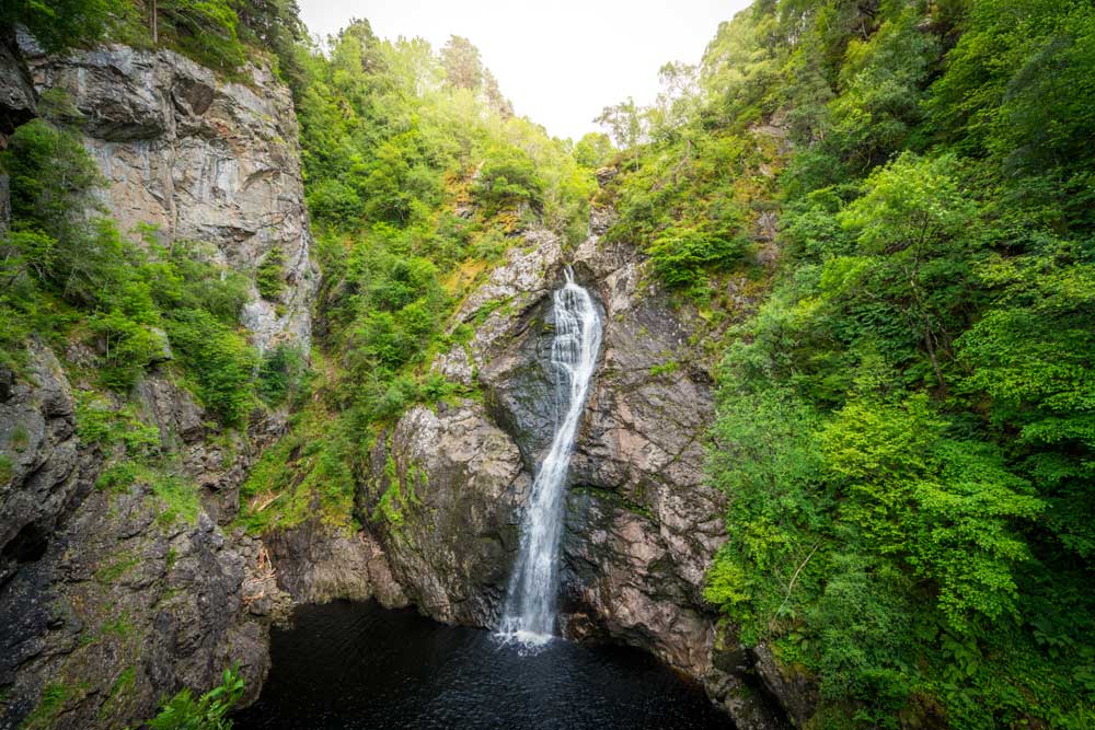
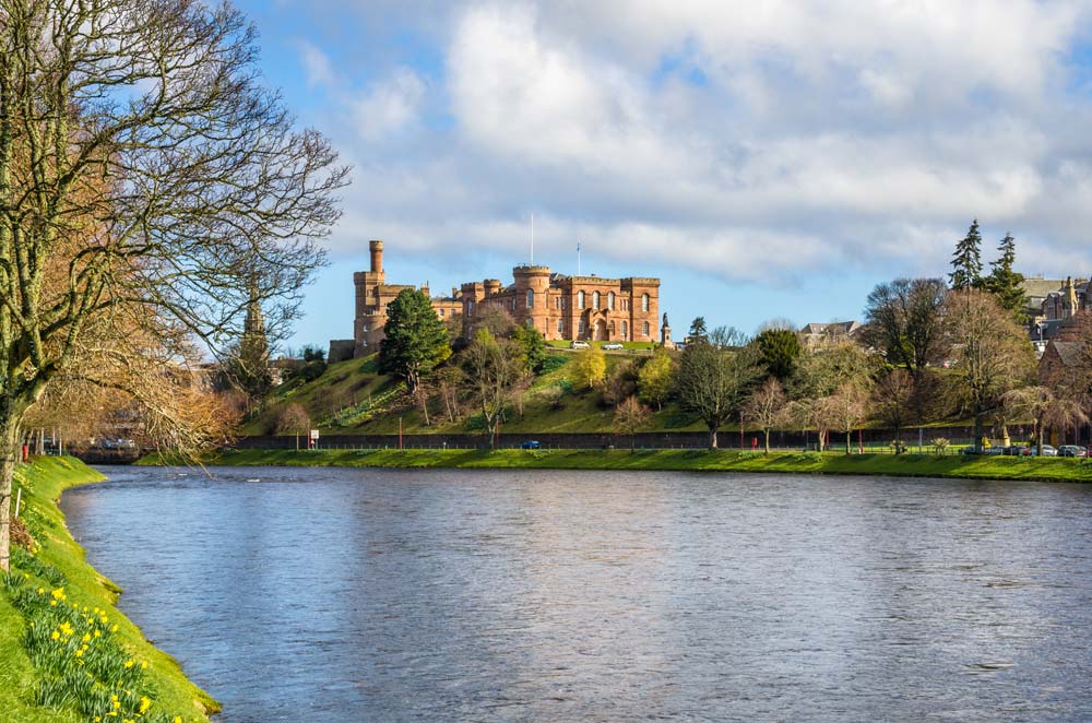
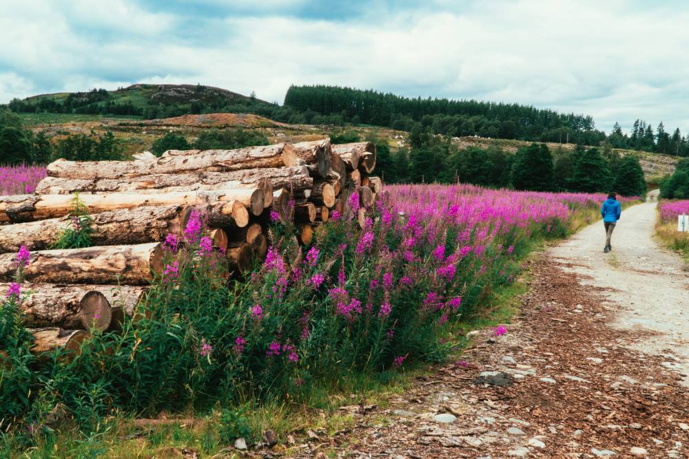
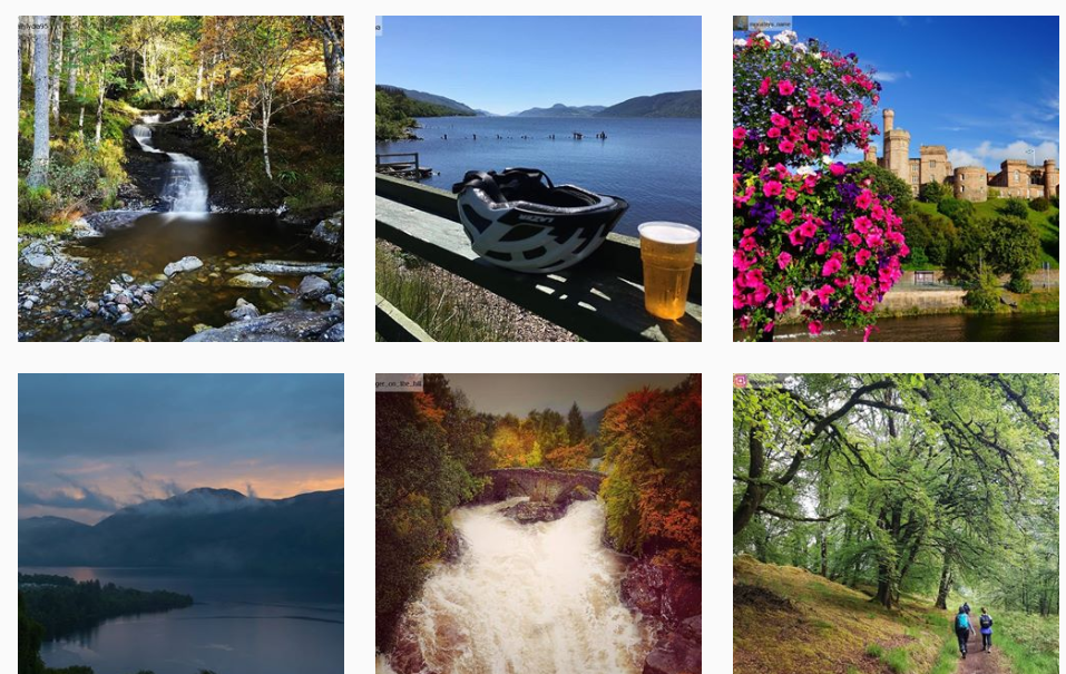
Things To See Along The Way
Protecting our trail
As with all of our beautiful Highland areas, please enjoy the Loch Ness 360° Trail safely and responsibly. When heading out hiking in Scotland, running, cycling or walking your dog, always consider the Scottish Outdoor Access Code before you go:
Take responsibility and consider your own safety and that of others, especially children.
Care for the environment and “leave no trace” – always take litter with you and do not disturb wildlife.
Keep your dog under control. Dogs are great companions, but please ensure they are kept on a lead near livestock and near ground nesting birds and always pick up after your dog.
Help land managers and farmers by acting responsibly. Keep clear of operations like tree felling, never damage crops and leave all gates as you find them.
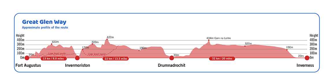
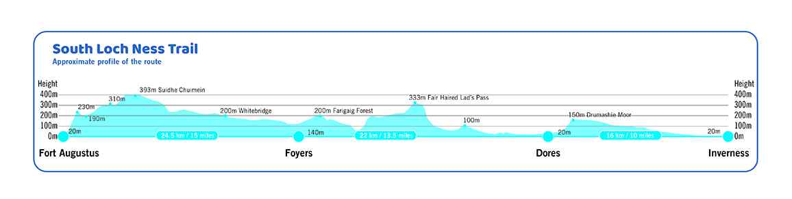
Elevation profiles
These elevation profiles show a cross-sectional view of the terrain along the Great Glen Way (sections 1 to 3 of the LN360°) and the South Loch Ness Trail (sections 4 to 6).