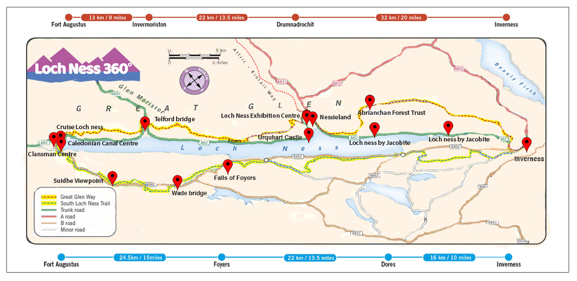
LN360° Map
Use our Interactive LN360° Trail Map to find key markers and points of interest along the Loch Ness 360° trail. Simply hover over the pointers on the map below and click if you want to read more.
Inverness Castle, The Start of the Trail
Explore the official start and finish of the Loch Ness 360° Trail, Inverness Castle. You can start and finish this Scottish walking and cycling trail from many points or simply walk sections of the trail. Find out more about these sections on our Exploring the Trail Section. Where you start and finish the trail will be very much dependent on your accommodation/travel arrangements. Being a circular route, the trail is flexible as to where you start and finish your explorations. To help you along, there are regular buses around the route, stopping at the start and finish of each of the 6 sections of the route. Car parking options are also available.
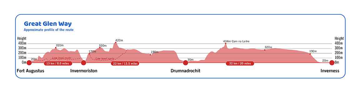
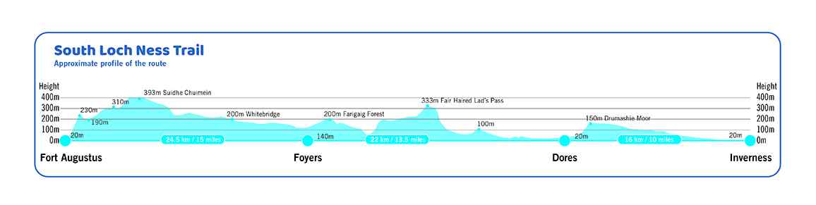
Elevation profiles
These elevation profiles show a cross-sectional view of the terrain along the Great Glen Way (sections 1 to 3 of the LN360°) and the South Loch Ness Trail (sections 4 to 6).