Section 6 - Dores to Inverness
16 km or 10 miles
For this sixth and final part of the Loch Ness 360° walk, which takes you from Dores back to Inverness, you will follow the South Loch Ness Trail (SLNT). Look for the blue signage with a squirrel along the route.
Step by Step Guide
Stage 1
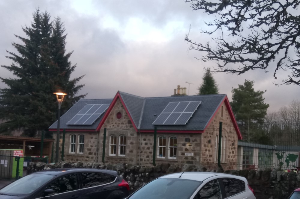
In Dores, walk along the main road B862 towards Inverness – there is a pavement here for pedestrians. After about 1 mile you reach Aldourie school. Here, the trail turns off the road to the right of the building and you join a well-made track around the back of the school and past fields. The footpath takes you out onto a single track road – take a right here. After a few hundred yards, you come to a fork in the road. Ignore the sign for Scaniport/Inverness pointing to the left (this is for Cycling Route 78) and take a right across a small bridge.
Stage 2
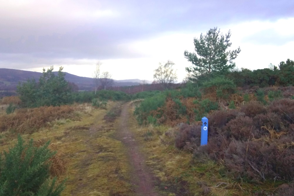
Keep following the road uphill, turning back towards Loch Ness as you climb. Enjoy your last views of the famous Loch through the trees. Soon you come to a blue marker on the right pointing towards a farm track on the left – follow this track. From here, the route shares a route with the “Trail of the 7 Lochs”, so you will also see small triangles on the markers with “T7L”. You now leave Loch Ness behind and walk across moorlands towards Inverness. After a short walk along a boggy track the track turns to the right, but follow the blue marker with “T7L” pointing straight ahead.
Stage 3
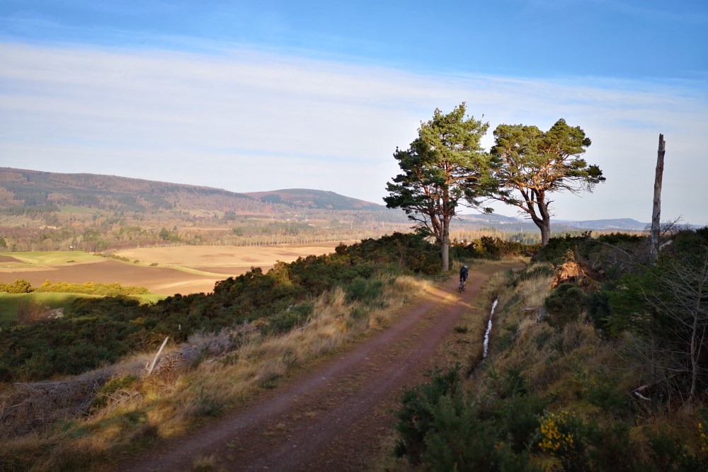
The track is more rugged here and boggy in places as you cross the moor. Eventually the path widens to a forestry track, which you walk along for a couple of miles. Several tracks go off to the right and left here used by local farmers, but please ignore them and follow the familiar blue markers with the squirrel and “T7L” triangle. This track is also popular with horse riders and mountain bikers, so take care. As you come closer to Inverness you can catch glimpses of the Moray Firth and Kessock Bridge in the distance.
Stage 4
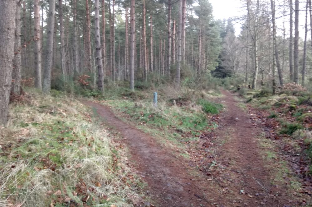
Continue to follow the track until you see the farm buildings of Cullaird Farm on the left. The track now turns downhill to the left and towards the farm. The track passes between the fields and farm buildings, so please make sure dogs are on a lead and you watch out for farm vehicles and machinery. After you pass the farm you will see a blue marker indicating a path on the right going into Torbreck Woods – follow the path.
Stage 5
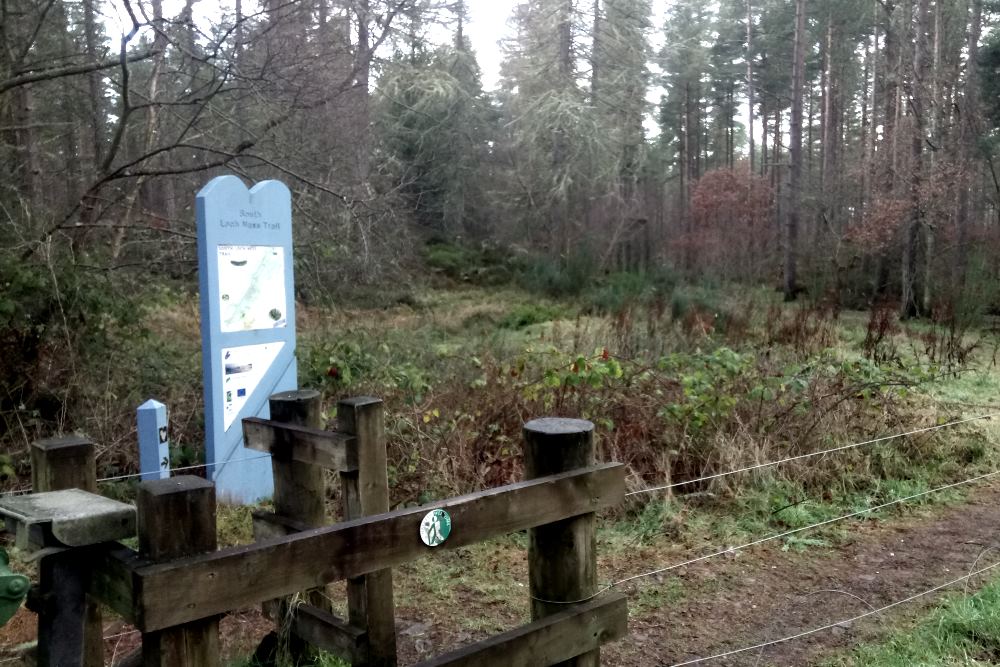
The path takes you through Torbreck Woods, which are popular with local dog walkers. So at times you will see other tracks leading off to the left or right, but the main path is always clearly visible. You emerge from Torbreck Woods onto a single-track road. This is the official end/start of the South Loch Ness Trail, so there are no more way markers after this point, but it is easy to follow local roads into the centre on Inverness.
Stage 6
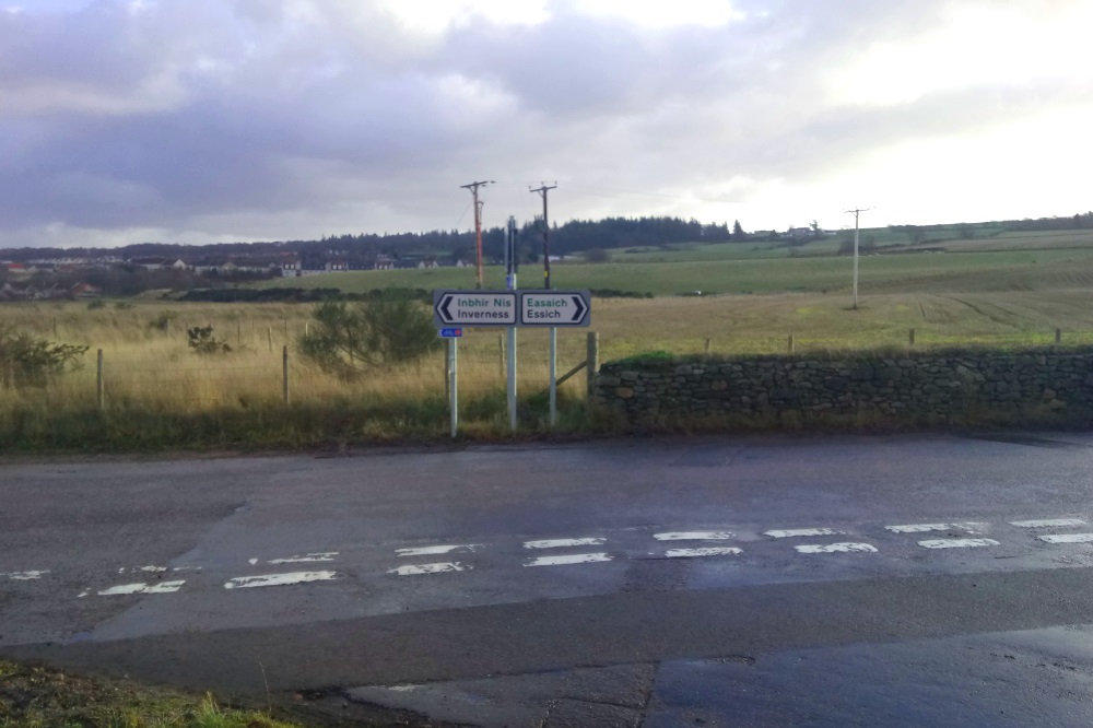
Once you have reached the single-track road, take a right and follow the road for about 1 mile until you reach a T-junction the indicates “Essich” to the right and “Inverness” to the left. Take a left onto Essich Road and walk along the pavement with fields to your right and houses on your left. After a short walk you come to a large roundabout. Go straight ahead here (signposted Lochardil) and follow Stratherrick Road.
Stage 7
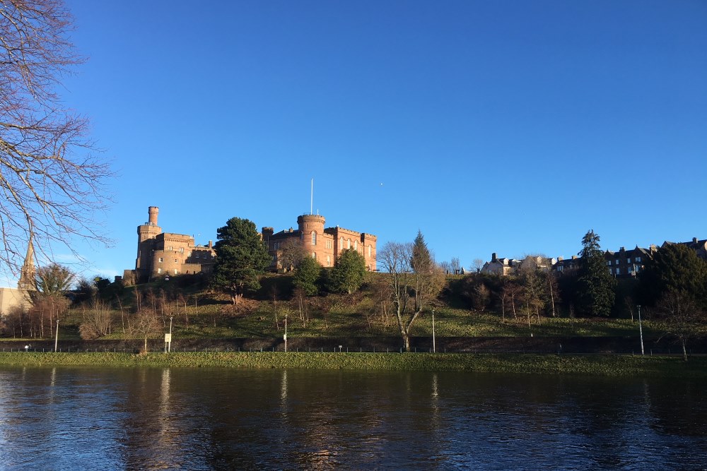
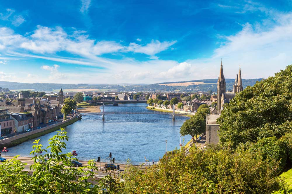
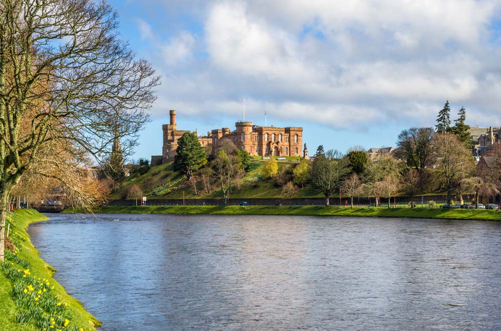
Keep following Stratherrick Road through the residential area of Lochardil as is slopes down towards the River Ness. The name of the road changes to Drummond Crescent shortly before you reach a T-junction near the Ness Islands. Take a right onto Island Bank Road – you will soon recognise this area as the start of the Great Glen Way! Follow Island Bank Road all the way to Inverness Castle for you photo finish or take the path along the River Ness into the city centre.
You’ve made it!
